We use cookies to make your experience better. Learn more


£19.79
£16.49
Incl VAT
£23.75
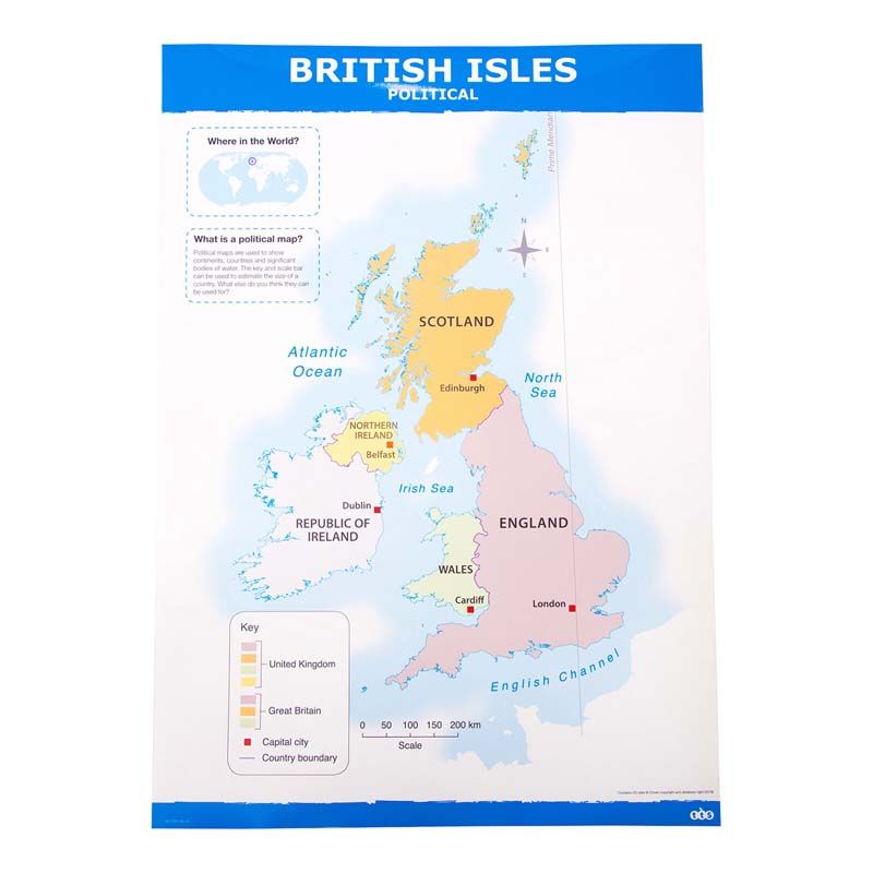
A high quality, double-sided map of the UK and British Isles.
Education Authority & NHS Approved Supplier - View our Frameworks
We deliver to Northern Ireland, ROI, UK Mainland, Scottish Highlands, Scottish Islands, Isle of Man and Isle of Wight. Deliveries to other locations can be arranged by calling our office on 028 7134 6767.
Larger items, such as furniture and bespoke items can take up to 28 Days for delivery. Stock items are usually delivered within 2-3 Days. Deliveries are carried out by a national courier, and require a signature.
All products requested will be delivered by Creative Activity free unless the order is under £100/ €150 +VAT in which case a service charge of £7.95/ €12.94 +VAT will apply for orders to Northern Ireland and Ireland. Carriage to UK Mainland and other areas will be quoted at time of order.
In no circumstances will the seller be liable for loss or damage of any kind whatsoever caused directly or indirectly by the delay in the delivery of goods.
These will attract a separate charge, details available from the local Creative Activity Service Centre.

Thank you.
We will email you when this item is available.